
The southeast monsoon has advanced on Thursday, part of the southeastern Arabian Sea, the Maldives and the Maldivian region and the southern Bengal, the Andaman Islands and other parts of the Andaman Sea. In the South Arabian Sea, the Maldives and the Komor region, the southwestern monsoon is favorable to the southwest monsoon, the bay of southern Bengal, the Andaman Islands and the Andaman Islands and some parts of the Bay of Central Bengal. India’s Meteorological Department ie IMD has provided this information.
The southwest monsoon can reach Kerala next week (May 21 to May 28), the IMT said. In the second week, the monsoon can also reach the northeastern states. There is every chance that the southwest monsoon can be preceded in Kerala at this time.
El nio, la nina status
A major information on the weather has emerged about al-Nino. El Nino is neutral throughout the Pacific. However, weather conditions are still similar to La Nina. The rainy season Mission Climate Forecasting System (MMCFS) and some other agencies are predicted that El Nio will remain neutral during the entire monsoon. Because of this, it is possible to rain.
Read: Lu alert in Rajasthan, alert on heavy rains in many states and weather updates
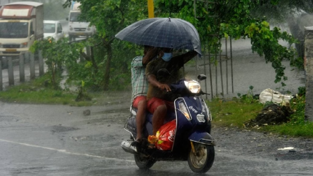
Speaking of rain, it was raining in many parts of the country last week. Last week’s rain was between May 8-13, which was recorded due to an active Western disruption. The rain continued in the West, Northwest and nearby Central India. Rainfall continued on May 13-14 in the Northeast, Southern Peninsula India and Western Disruptions in India and Hurricane Cycle on May 8-14 and Southern/Southwest wind. Last week, the situation of Heatstrock across the country was not seen due to rain.
The IMT said that this week’s weather will be active in a hurricane cycle in the Northeast Assam and nearby areas. In addition, a hurricane cycle is active in the northern internal Karnataka and its adjacent areas. A tank line extends via North Chhattisgarh from West Bengal and Sikkim to Southeastern Madhya Pradesh. The cyclone cycle of a top air is built above the bay of southeastern Bengal. The cyclone cycle of a top air is in the northern coastal Tamil Nadu, which is above the adjacent areas.
How the weather will be next
- Over the next 5 days, in the northeastern India, there is a chance of light or moderate rainfall in many places with thunder, electricity and strong winds at speeds of 30-50 km / h.
- During the May 15-18 period, Konkan and Goa, Central Maharashtra, Marathwada, thunder, thunder, electricity and strong winds are likely to occur from time to time at speeds of 30-50 km / h.
- In the next 5 days, coastal Andhra and Yanam, Rayalaseema, Telangana, Karnataka, Tamil Nadu Puducherry and Kargal, Kerala and Mahe are likely to cause thunderstorms at 30-50 km / h, as well as light or modification.
- Over the next five days, there is a possibility of light or moderate rainfall with strong winds and strong winds that reach 30-50 km / h in Madhya Pradesh, Vidarbha, Chhattisgarh, Jharkhand, Odisha, Bihar, West Bengal and Sikkim.